

industry leading technology
Technology built to see, measure and understand below the surface.
Most underwater inspection still depends on divers, fixed cameras, or equipment never designed for the conditions it's asked to work in. We took a different approach. Our submersible ROV and unmanned surface vessel platforms are designed and built in-house, purpose-built for the environments our clients operate in: low-visibility water, GPS-deprived zones, active ports, and confined under-soffit spaces divers can't safely reach.
Every platform is paired with survey- grade sensors and geospatial processing, so our outputs are data engineers can measure, model and act on.
Underwater
Data
Specialists
T7
Say hello to our underwater best friend.
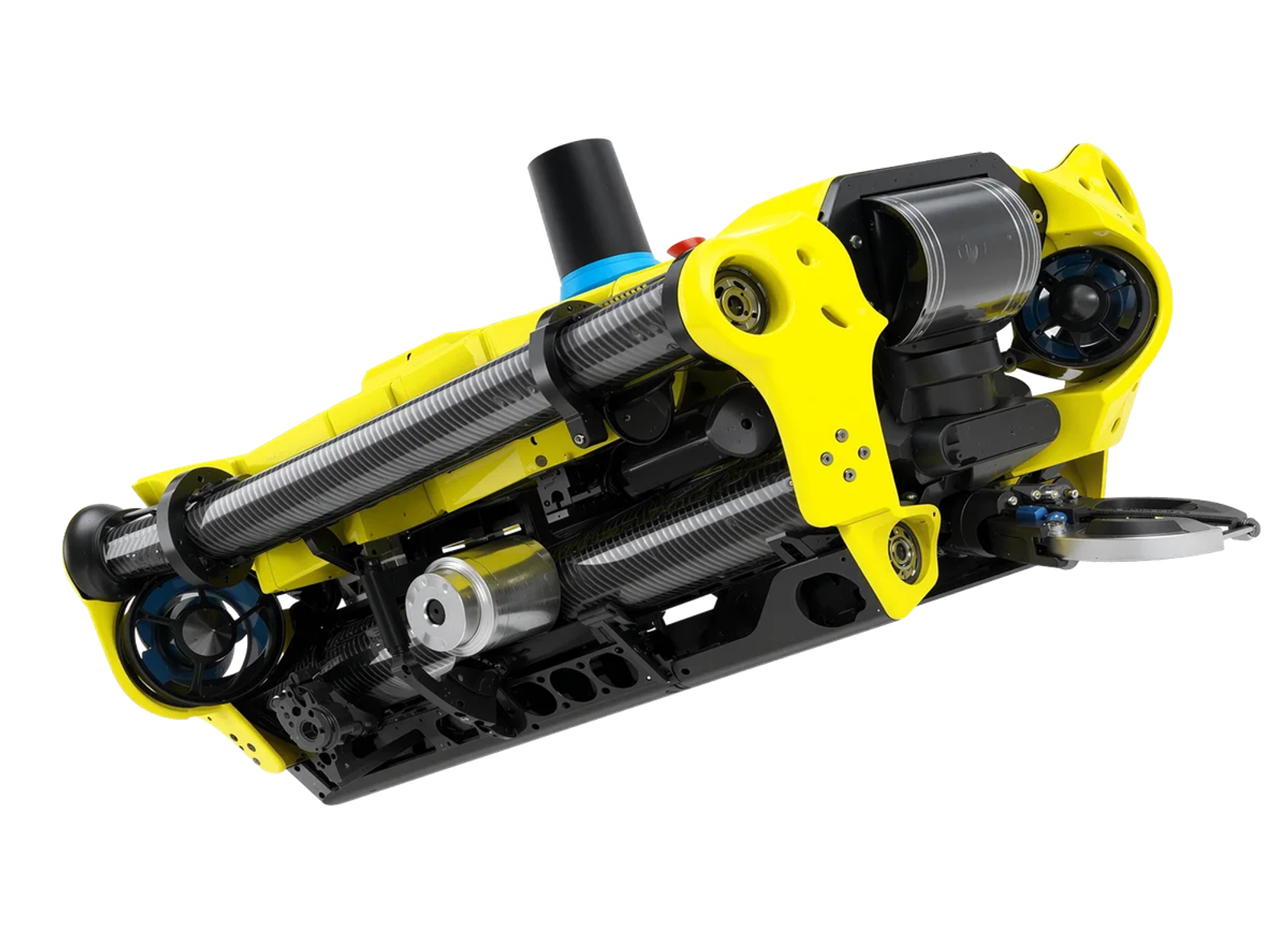
The T7 is the core of our fleet: a submersible ROV engineered for extended-duration inspection work in conditions that would ground a diver or sideline a smaller platform. With up to 60 hours of on-task endurance, it's built to cover more ground in a single deployment thus reducing mobilisation costs and getting clients answers faster.


Precision navigation, even without GPS
Our platforms use inertial and acoustic positioning to maintain accurate, repeatable positioning in GPS-deprived environments: underneath wharves, inside culverts, and below vessel hulls. Every dataset can be geospatially referenced back to the asset.
Sensor payloads matched to the job
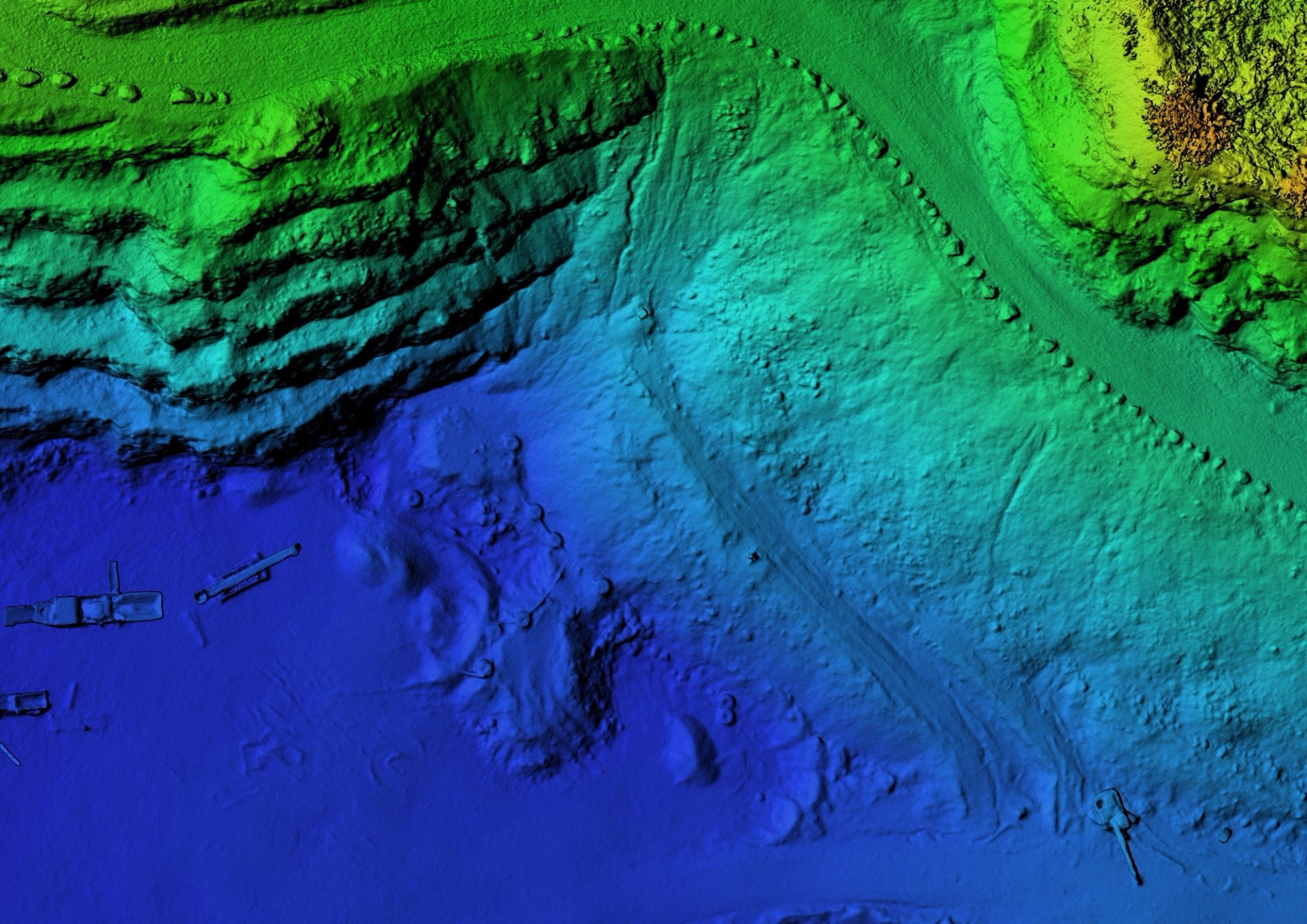
Multibeam echo sounders, imaging sonar, HD video, UTT and CPT probes are integrated directly into the platform, so a single deployment can capture multiple data types without repeat mobilisations.
Data you can act on, not just footage to review
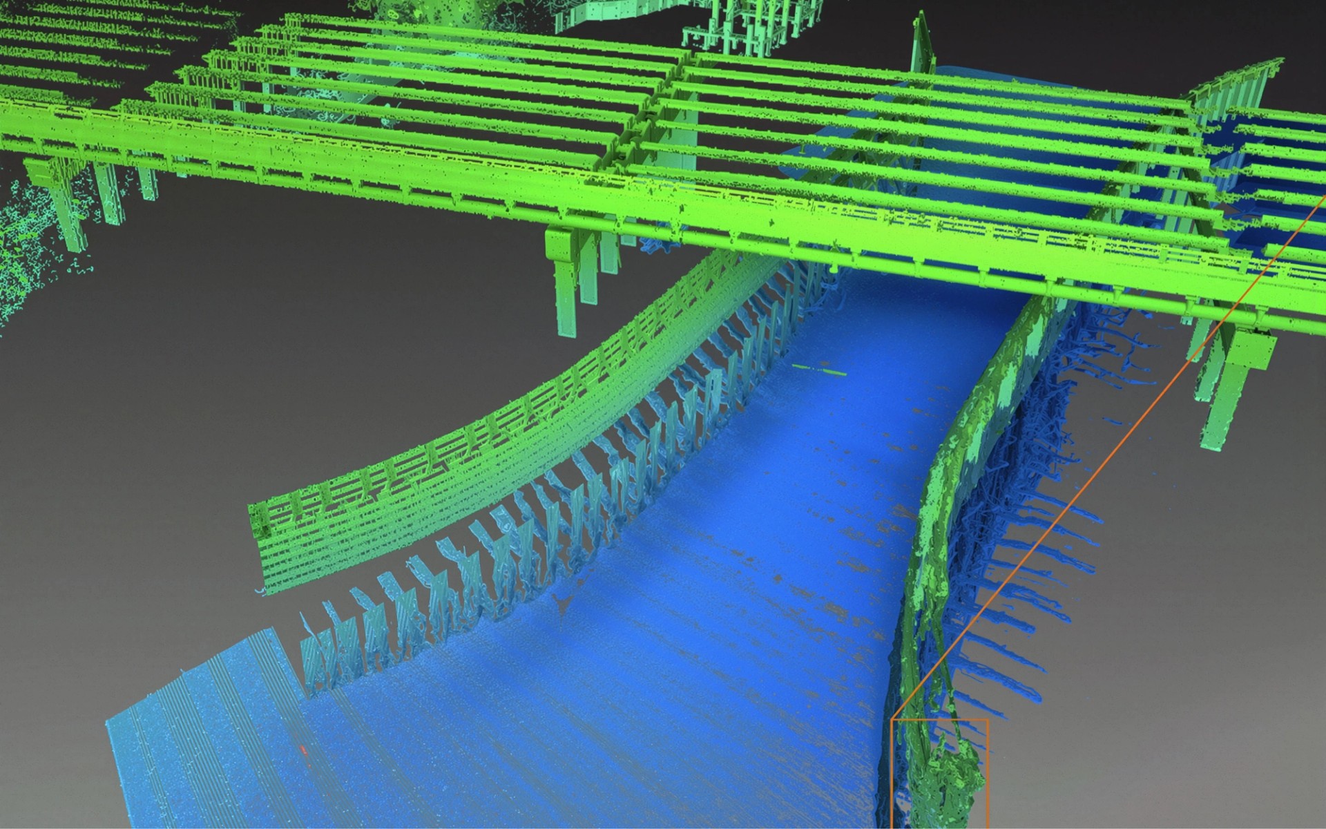
Raw capture is processed into 3D models, point clouds and condition ratings aligned to recognised frameworks (WSCAM, IIMM), giving engineers a dataset they can measure from directly rather than a video they have to interpret.
Precision navigation, even without GPS
Our platforms use inertial and acoustic positioning to maintain accurate, repeatable positioning in GPS-deprived environments: underneath wharves, inside culverts, and below vessel hulls. Every dataset can be geospatially referenced back to the asset.
Sensor payloads matched to the job
Multibeam echo sounders, imaging sonar, HD video, UTT and CPT probes are integrated directly into the platform, so a single deployment can capture multiple data types without repeat mobilisations.
Data you can act on, not just footage to review
Raw capture is processed into 3D models, point clouds and condition ratings aligned to recognised frameworks (WSCAM, IIMM), giving engineers a dataset they can measure from directly rather than a video they have to interpret.
Innovating marine inspections with cutting-edge ROV technology.
We build the tools.
We dive the data.
Start your scope
Innovating marine inspections with cutting-edge ROV technology
Contact us for a demonstration, proposal or to answer your queries. If you would like us to walk you through our solutions, show you sample data, get a proposal, get a demonstration, or you have any questions, feel free to reach out.